Driving the Survey Revolution through

Experience and Knowledge of
Horizon and Beyond...

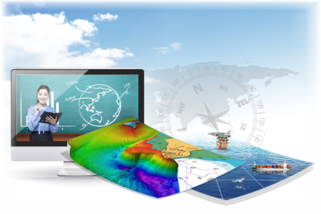
A Greater Measure of Confidence
Deep Beneath the Ocean
Quality is our trait,
Innovation is our tradition

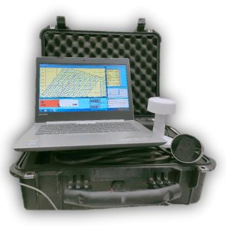
NeerTide designed to provide an
Accurate, Versatile & Easily Deployable Tide Gauge
for short or long term survey operations

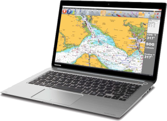
Neer Sound is Nano, compact, handy and versatile
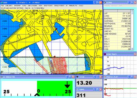
Hydrographic Survey System
for fast and accurate acquisition of bathymetry survey data.

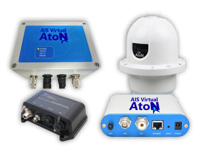
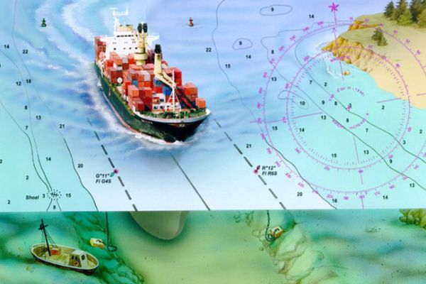
AIS Virtual AtoN
Digital
Not Physical
Greater Range
Safe & Efficient
Not Physical
Greater Range
Safe & Efficient

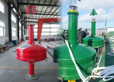
Supply, Installation & Maintenance
Range of Navigation Buoys